
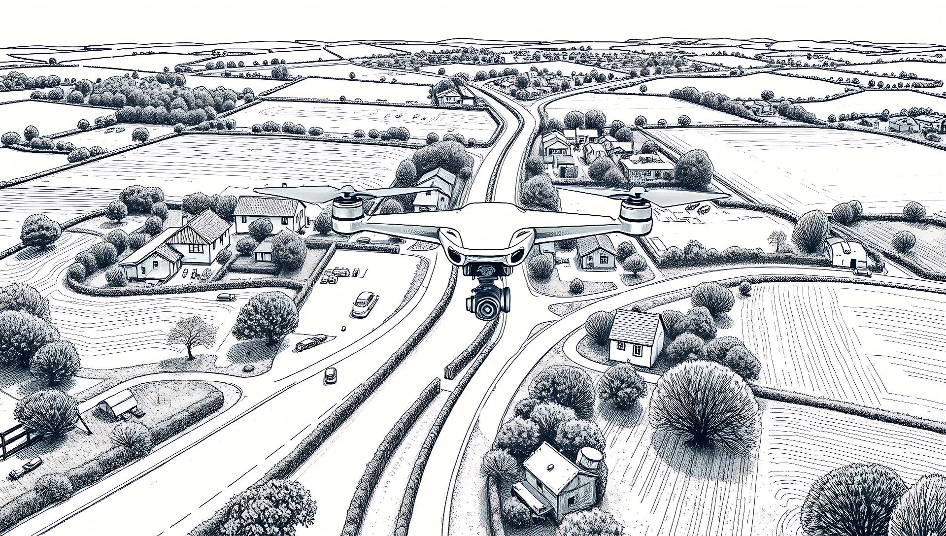

A developer shared an interactive 3D driving simulator of their village on Hacker News, built from drone footage using AI reconstruction tools and Unreal Engine 5. The project, DriveSim Village, demonstrates a fully accessible pipeline for creating high-fidelity virtual environments.
Tool: DriveSim Village | Core Tech: Meshroom, Unreal Engine 5 | Input: Drone footage
Output: Interactive 3D driving sim | License: Open-source methodology
From Drone Footage to Driveable World
The process uses photogrammetry—the science of making measurements from photographs—to convert 2D drone video into a 3D model. The creator captured standard aerial footage of their village, then processed it through Meshroom, a free, open-source 3D reconstruction software.
The AI-powered reconstruction in Meshroom identifies common points across hundreds of video frames to calculate depth and geometry, outputting a textured 3D mesh. This mesh was then imported into Unreal Engine 5 (UE5), where the developer used the engine's native tools and assets to add roads, vehicle physics, and foliage, creating a seamless driving experience.

The Technical Pipeline: How to Try It
The project outlines a clear, replicable workflow. You don't need proprietary software; the core tools are free for non-commercial use.
"Step-by-Step Setup"
Early testers on HN noted the visual fidelity is impressive for a hobbyist project, with the main limitation being the computational heaviness of the raw photogrammetry mesh, which requires optimization for smooth performance.
Pros, Cons, and Practical Trade-offs
This approach democratizes high-quality environment creation but involves significant trade-offs.
Advantages:
- High Visual Fidelity: Achieves photorealism grounded in real-world data, superior to purely procedural generation for specific locales.
- Cost-Effective Pipeline: Relies on free software (Meshroom, Blender, UE5) and consumer hardware.
- Foundation for AI Training: Creates perfect, labeled synthetic data for computer vision models (e.g., autonomous vehicle systems).
Limitations:
- Manual Optimization Required: The raw AI-generated mesh is not game-ready; manual cleanup in Blender is essential.
- Scale Constraints: Best suited for localized areas (e.g., a village, campus). Recreating a large city would be prohibitively time-intensive.
- Static Environment: The reconstruction captures a moment in time; dynamic weather or time-of-day changes must be added manually in-engine.
Bottom line: A powerful proof-of-concept for data-driven virtual world building, but not a push-button solution.
How It Stacks Up Against Alternatives
For AI practitioners and developers needing 3D environments, DriveSim Village occupies a unique niche between automated GIS tools and manual creation.
| Feature | DriveSim Village (Photogrammetry) | Google Photorealistic 3D Tiles (GIS) | Procedural Generation (e.g., World Creator) | Manual Modeling (Blender/Maya) |
|---|---|---|---|---|
| Realism Basis | Real-world photos | Satellite/Aerial imagery | Algorithmic rules | Artist creation |
| Geographic Accuracy | High (local) | High (global) | Low | Variable |
| Setup Time | Medium (data capture + processing) | Low (API call) | Low-Medium | Very High |
| Customization Control | Medium (post-process) | Very Low | High | Complete |
| Best For | Simulating specific real locations | Map-based applications | Stylized or large-scale worlds | Stylized/art-directed assets |
The key differentiator is location-specific authenticity. Tools like Google's 3D Tiles API offer broader coverage but less control and no native vehicle physics integration. Pure procedural generators are faster for building fantasy landscapes but cannot replicate a real place.
Who Should Use This Pipeline
This methodology is a compelling fit for specific use cases, but an over-engineered solution for others.
Use DriveSim Village if you:
- Are a researcher or team needing high-fidelity synthetic data of a real location for autonomous system training.
- Are a simulation developer building a trainer for a specific geographic area (e.g., a local driving school).
- Are a hobbyist or indie developer passionate about a specific locale and willing to invest time in the technical pipeline.
Skip this approach if you:
- Need a quick, generic 3D environment for a game prototype. Asset stores or procedural tools are faster.
- Require a massive, continent-scale world. Use professional GIS software or game engines like Unity with Mapbox.
- Lack the time for mesh cleanup and optimization. Consider using NVIDIA Omniverse Replicator or Unity Perception for more automated synthetic data generation.
The project's greatest contribution is its educational value as an end-to-end guide. It proves that creating a convincing virtual twin of a real place is within reach of dedicated individuals, not just large studios.
The logical next step for such projects is tighter integration with Neural Radiance Fields (NeRFs), which can produce even higher-fidelity novel views from photo sets. As AI reconstruction tools advance, the gap between drone footage and a polished, dynamic simulation will continue to narrow, making real-world virtual twins a standard tool for development and training.





Top comments (0)